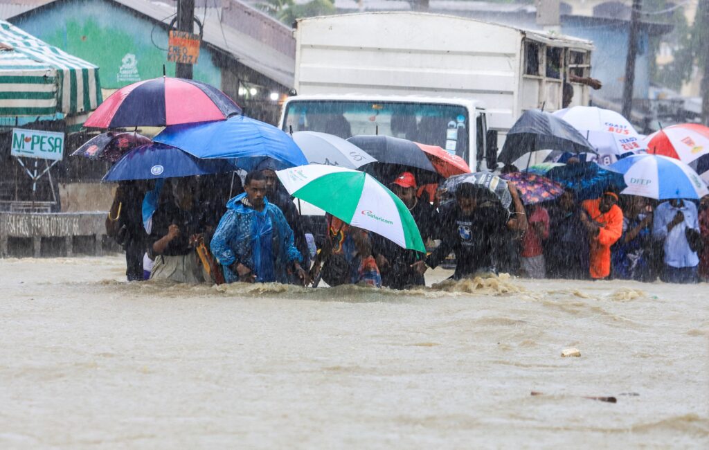
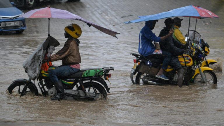
- The Kenya Meteorological Department has issued an advisory warning of heavy rainfall, strong winds, and large ocean waves affecting several regions from 19th to 22nd May 2024
- Residents in affected areas, including parts of the Lake Victoria Basin, Rift Valley, and coastal regions, are urged to be vigilant for potential flooding and structural damage
The Kenya Meteorological Department has issued a critical advisory warning of heavy rainfall, strong winds, and large ocean waves expected to impact various regions across the country.

This advisory, issued on 19th May 2024 at 12pm, remains in effect from 5pm on 19th May to 6pm on 22nd May 2024.
According to the advisory, moderate to heavy rainfall exceeding 30mm in 24 hours is anticipated across several parts of the Lake Victoria Basin, the Rift Valley, and the Highlands both west and east of the Rift Valley, including Nairobi.
Follow our Facebook page for more updates:
The rainfall is expected to intensify to more than 40mm in 24 hours from 20th to 21st May, affecting the aforementioned regions as well as the coastal areas.
The advisory highlights a potential reduction in rainfall intensity inland from 22nd May, with an expected increase along the coast from 22nd to 24th May.
See Also:
1: Five Lives Lost After Heavy Rains Wreak Havoc In Embu
2: Larry Madowo Stuck in Nairobi Expressway After Flooding During Heavy Rains
The heavy rains will likely be accompanied by gusty winds and large ocean waves in the Indian Ocean, along with strong southerly winds affecting the eastern regions of the country.
Areas of Concern
The counties affected include Kisumu, Homabay, Siaya, Migori, Busia, Kisii, Nyamira, Nandi, Kericho, Bomet, Kakamega, Vihiga, Bungoma, Narok, Baringo, Nakuru, Trans-Nzoia, Uasin-Gishu, Elgeyo-Marakwet, West-Pokot, Turkana, Samburu, Nyandarua, Laikipia, Nyeri, Kirinyaga, Murang’a, Kiambu, Nairobi, Machakos, Kajiado, Mombasa, Tana-River, Kilifi, Lamu, and Kwale.
Instructions to Residents
Met advised residents in the affected areas to remain vigilant for potential flooding, flash floods, and reduced visibility.
The water levels in rivers, lakes, and dams are expected to remain high.
Follow our Facebook page for more updates:
Specific precautions include avoiding driving or walking through moving water, staying away from open fields and sheltering under trees or near grilled windows to minimize the risk of lightning strikes.
Those in landslide-prone areas, particularly in hilly regions, should be on high alert, the MET announced.
Follow our Facebook page for more updates:
The advisory also warns of strong winds that may damage structures, blow off roofs, and uproot trees, as well as large waves that could disrupt marine activities.

